
Abstract
Japan has a convex form with high mountains in the center. After the Jomon ocean transgression which peaked 6,000 years ago, the ocean began to retreat and has formed plains on which the majority of the Japanese population lives now. In the first part of this paper, We will present geographical features mainly through the analysis of the average land gradient and propose a concept of a satochi-satoyama connecting zone. The concept of a satochi-satoyama connecting zone is useful for overviewing significant connections between nature and human activities. In landscape planning, watershed analysis can well describe a vertical structure from upstream to downstream. On the other hand, analysis of a satochi-satoyama connecting zone can describe horizontal connection of landscape.
In the second part, We will present the results of a questionnaire survey conducted during summer 2012 in Nyu Village, which is located in a satochi-satoyama connecting zone in Mie prefecture. This survey can show how people in Nyu recognize and live with the nature around them. People living in Nyu have very high awareness of the environment and continuously try to improve it. But environmental threats such as harm from animals, lack of maintenance of forests and agricultural lands and loss of economic functions of forests and farmland are structural problems, which cannot be solved only by their own efforts. Some effective political measures in a regional scale might be integrated to such residential efforts. For integrating such measures, the recognition of a satochi-satoyama connecting zone integrated with watershed planning might be useful to develop wide area viewpoints.
Access this chapter
Tax calculation will be finalised at checkout
Purchases are for personal use only
References
Basic Environmental Law (2013) Effective on November, 1993, Ministry of the Enviroment. http://www.env.go.jp/en/laws/policy/basic/index.html
Bing Maps Aerial (2013) ArcGIS, esri Japan
Biodiversity Center of Japan (2013) Natural environmental information GIS. http://www.biodic.go.jp/trialSystem/top_en.html
Geospatial Information Authority of Japan (2012) Basic map information. http://fgd.gsi.go.jp/download/
Ishikawa M et al. (2005) The era of watershed planning, Gihodoshuppan (Japanese)
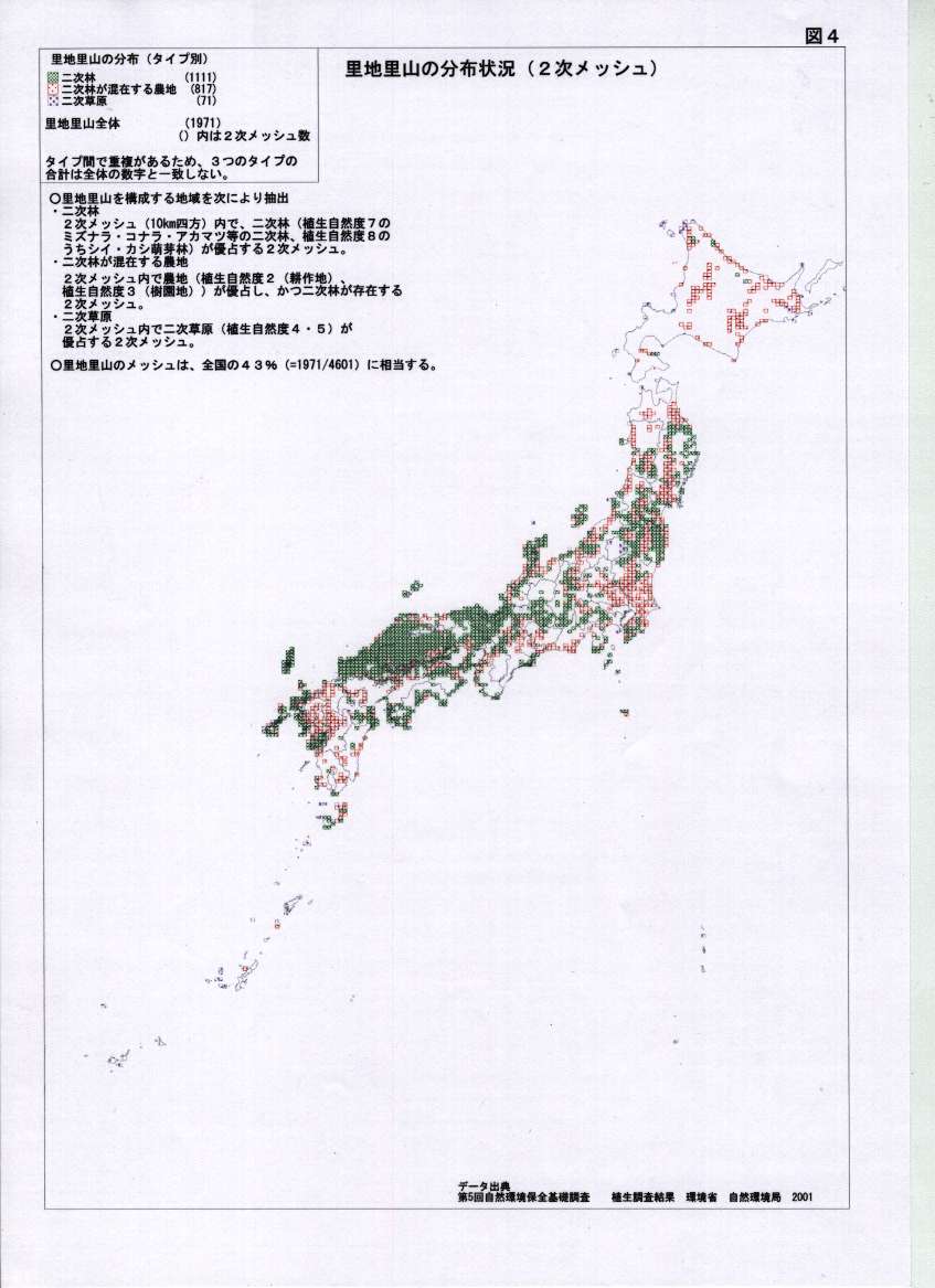
Ministry of Environment (2013) Intermediate report on research and analysis of satoyama. http://www.env.go.jp/nature/satoyama/04.jpg
National Land Numerical Information Download Service (2012) Land use detail mesh data. http://nlftp.mlit.go.jp/ksj/gml/datalist/KsjTmplt-L03-b.html
Ogura J (2012) History of forest and grassland. Kokon Shoin, Tokyo
Takeuchi K (2003) The nature of satoyama landscape, satoyama-theo traditional rural landscape of Japan. Springer, Tokyo, pp 11–12
Tsunekawa A (2003) Satoyama landscape transition, satoyama-theo traditional rural landscape of Japan. Springer, Tokyo, pp 41–51
Washitani I (2003) Satoyama landscape and conservation ecology, satoyama-theo traditional rural landscape of Japan. Springer, Tokyo, pp 16–23
Author information
Authors and Affiliations
Corresponding author
Editor information
Editors and Affiliations
Rights and permissions
Copyright information
© 2014 Springer Japan
About this chapter
Cite this chapter
Shimizu, H., Nakatsuji, C. (2014). Landscape Perception of Residents in the Nyu Village, Kushida-River—Including Proposal of a Satochi-Satoyama Connecting Zone. In: Shimizu, H., Murayama, A. (eds) Basic and Clinical Environmental Approaches in Landscape Planning. Urban and Landscape Perspectives, vol 17. Springer, Tokyo. https://doi.org/10.1007/978-4-431-54415-9_5
Download citation
DOI: https://doi.org/10.1007/978-4-431-54415-9_5
Published:
Publisher Name: Springer, Tokyo
Print ISBN: 978-4-431-54414-2
Online ISBN: 978-4-431-54415-9
eBook Packages: Earth and Environmental ScienceEarth and Environmental Science (R0)